


City Roads - Explore and Visualize Urban Road Networks
Discover the intricate patt...
Tags:Map Toolscity planners City Roads dynamic rendering Online Tool road networks traffic analysis transportation systems urban visualization 城市规划文章目录[隐藏]
City Roads: Urban Visualization Tool
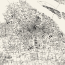
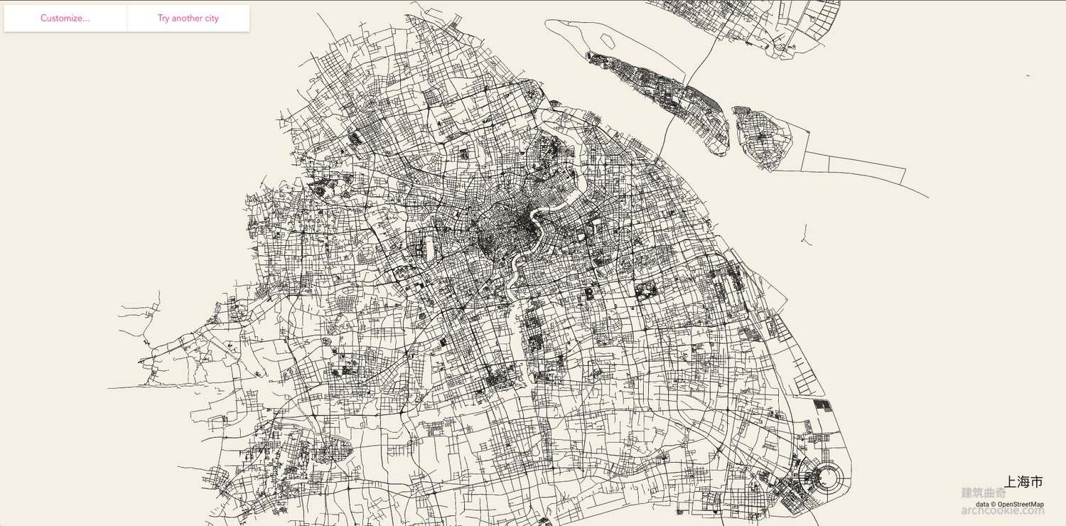
City Roads, an online visualization application known as "Draw all roads in a city at once," is a dynamic and engaging tool created by developer anvaka. It facilitates the exploration of urban road networks, offering a unique perspective on traffic layouts for city planners, traffic analysts, and anyone interested in urban transportation systems.
Accessing City Roads
Visit the official website of City Roads at https://anvaka.github.io/city-roads/ to begin your exploration of city road networks.
Language Support
The website supports multiple languages, ensuring accessibility for a global audience. Users can search for cities in their native language, enhancing the user experience.
Product Features
City Roads is characterized by its ability to dynamically render road maps, allowing users to observe the density of roads, traffic flow distribution, and the complexity of urban structures. It also offers customization options for background and road colors, as well as the ability to download maps in various formats such as SVG and JPG.
Industries and Fields
City Roads spans across various fields including urban planning, transportation analysis, and data visualization. It serves as a valuable resource for professionals and enthusiasts alike, providing insights into the urban landscape.
Usage Scenarios
Users can utilize City Roads for a multitude of purposes, from academic research to artistic expression. It provides a detailed view of city layouts, enabling users to analyze traffic patterns, identify congestion areas, and explore urban expansion and road planning strategies.
Related Links
- WorldLink Resource on City Roads
- City Roads Introduction on Guapizhu Blog
- City Roads Tool Overview on Architect Cookies
- Visual representation of City Road's utility: City Road Visualization


